Substantial postings about constructed languages and constructed worlds in general. Good place to mention your own or evaluate someone else's. Put quick questions in C&C Quickies instead.
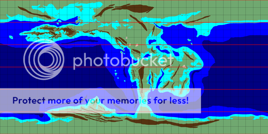
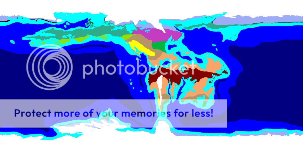
There is no seasonal or monsoon rainforest due to the low axial tilt.
The orange is a climate with no exact equivalent. It's savanna-like, but with year-round rainfall. (But not quite dry enough to be steppe.)
The east coast mid-green is humid subtropical.
The tan/beige is steppe and the yellow is desert. (Simplified with hot and cold combined.)
The west coast graded greens are warm, cool, and cold marine.
The purple is continental.
The lavender is tundra.
And the white is ice cap.
Seems fairly straightforward. By the way, given the size of the Oceans, won't storms on this world have the potential to reach a pretty frightening level?
...brought to you by the Weeping Elf Tha cvastam émi cvastam santham amal phelsa. -- Friedrich Schiller ESTAR-3SG:P human-OBJ only human-OBJ true-OBJ REL-LOC play-3SG:A
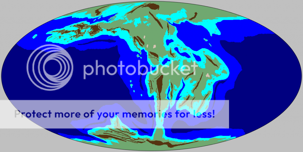
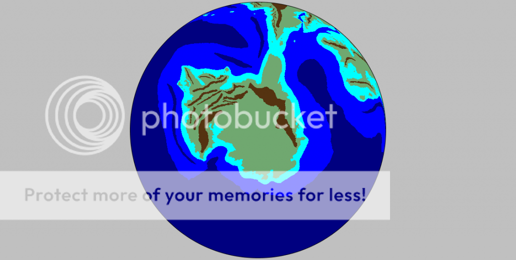
This might have been asked (ages) before -- or maybe I'm confusing you with someone else -- but isn't that map one of the Earth in a previous geological age? Permian/Triassic, maybe?
James0289 wrote:This might have been asked (ages) before -- or maybe I'm confusing you with someone else -- but isn't that map one of the Earth in a previous geological age? Permian/Triassic, maybe?
Permian Earth:
Triassic Earth:
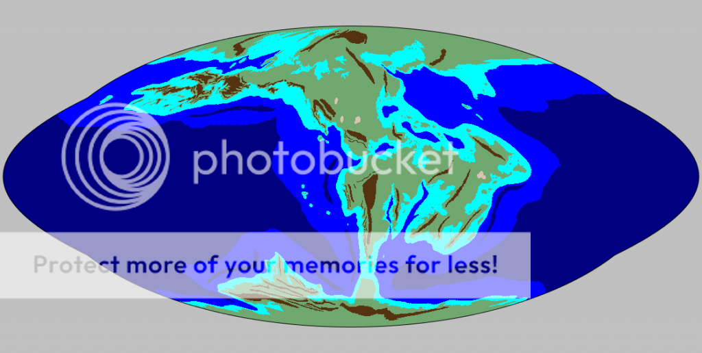
So no, the OP's maps are not an old configuration of Earth. However, I do see where you're coming from because the middle north continent reminds me of North America, and the middle south west continent reminds me of a squashed Africa.
Precisely. And I do remember someone aaaaages ago posting maps of a conworld that were basically those of the Earth from the Carboniferous (or something), so I didn't know if this was a reincarnation of that or a different project completely.
James0289 wrote:Precisely. And I do remember someone aaaaages ago posting maps of a conworld that were basically those of the Earth from the Carboniferous (or something), so I didn't know if this was a reincarnation of that or a different project completely.
Different project completely. Okay.
Indeed it is completely different.
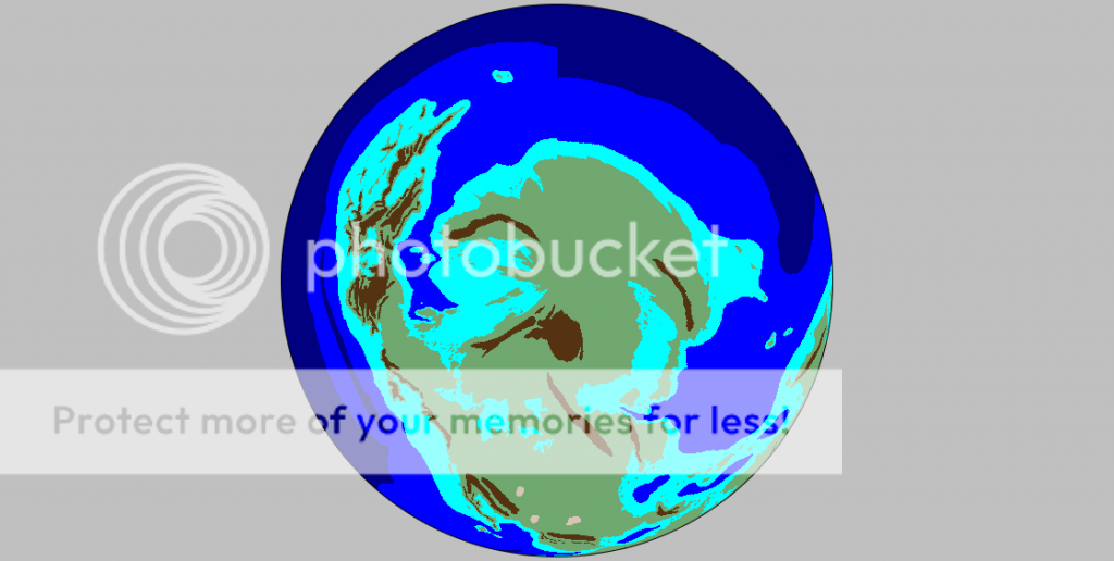
The maps were derived in part from a manipulated current map of Earth with a higher sea level, particularly the Americas.


