Page 1 of 2
Hey, I made a map
Posted: Thu Nov 21, 2013 12:02 am
by HandsomeRob
I'm trying out a new style here. This map is the Sultanate of Zender, which is in the southeastern part of the Kaspari Empire. The map took about two weeks to finish, with most of that time spent drawing all of those intricate mountain ranges.
Check it out if you're interested:
Map of the Sultanate of Zender
Re: Hey, I made a map
Posted: Thu Nov 21, 2013 12:18 am
by Genome
That's better than what I could do in 2 months.

Re: Hey, I made a map
Posted: Thu Nov 21, 2013 12:49 am
by cromulant
Phenomenal.
Re: Hey, I made a map
Posted: Thu Nov 21, 2013 1:19 am
by Rhetorica
Looks like someone found the drop-downs on Bevel and Emboss.
Great work!
Re: Hey, I made a map
Posted: Thu Nov 21, 2013 1:29 am
by maıráí
11/10
Re: Hey, I made a map
Posted: Thu Nov 21, 2013 2:29 am
by Dē Graut Bʉr
Great map!

Re: Hey, I made a map
Posted: Thu Nov 21, 2013 5:19 am
by Znex
Damn, that detail!
Looks like one of those 3D maps that curves according to height and stuff.
Re: Hey, I made a map
Posted: Thu Nov 21, 2013 5:56 am
by Torco
Superb as always: the new style is more evocative than your previous work. I congratulate you, sir.
Re: Hey, I made a map
Posted: Thu Nov 21, 2013 8:23 am
by vec
Fuck me!
Re: Hey, I made a map
Posted: Thu Nov 21, 2013 9:25 am
by Vardelm
I agree with all of the above comments. This is fantastic work.
I'd like to submit a motion to have you explain your process. I've seen other methods for creating mountains on The Cartographer's Guild and such sites, but there are very few that give a really nice, realistic look like this.
Awesome.
Re: Hey, I made a map
Posted: Thu Nov 21, 2013 9:42 am
by HandsomeRob
Vardelm wrote:I'd like to submit a motion to have you explain your process. I've seen other methods for creating mountains on The Cartographer's Guild and such sites, but there are very few that give a really nice, realistic look like this.
Rhetorica is right: it's just bevel and emboss.
I start in Illustrator by drawing the mountains - about 75% of the time spent working on this map was invested in drawing these mountains. It's very important to draw lots and lots of canyons through the mountains, incising them quite deeply. Otherwise, because of the way the bevel feature works, you will end up with great big peaks with perfectly flat sides. If you cut the mountains through with lots of canyons, those facets are reduced in size until they are small enough as to be not distracting.
Once the mountains are drawn, I copied them into photoshop and filled them with a rock texture pattern. I also used the pattern stamp tool to fill the highest peaks with a snowy pattern. Then a bevel was applied, making sure to set it to "chisel hard" with the largest possible size (if the size of the bevel is too small, sometimes the peaks will appear flattened).
Here's a portion of the working Illustrator file, so you can see what gets drawn in before the Photoshop styles are applied:

The rest of the work is a similar process - first draw the shapes in Illustrator, then apply patterns and styles in Photoshop. (I use a lot of patterns, I've practically worn out the pattern stamp tool).
Re: Hey, I made a map
Posted: Thu Nov 21, 2013 10:00 am
by Particles the Greek
Awesome work, Rob. Do you do commissions?
Now, if only there was a reasonable way to do all that automatically with a program, where all you have to tell it is where the mountains are...
Re: Hey, I made a map
Posted: Thu Nov 21, 2013 10:02 am
by Hallow XIII
as far as I understand he does this for a living, yes
Re: Hey, I made a map
Posted: Thu Nov 21, 2013 10:06 am
by Vardelm
HandsomeRob wrote:<trade secrets...>
Thanks! That description & image are extremely helpful. It was obvious boss/bevel were used, but it's really useful to see what the underlying images look like. I like that you did the base work w/ vector graphics. That means it can be scaled to different map sizes.
Speaking of which, what's the scale on this map?
Re: Hey, I made a map
Posted: Thu Nov 21, 2013 10:10 am
by WeepingElf
Rock'n'roll.
Re: Hey, I made a map
Posted: Thu Nov 21, 2013 10:12 am
by HandsomeRob
Vardelm wrote:Speaking of which, what's the scale on this map?
I admit it's a bit hard to see. It's right above the "Sultanate of Zender" title cartouche. The sultanate is about 250 miles wide from east to west.
araceli wrote:Do you do commissions?
I could be convinced.
PM me if you have a proposal.
Re: Hey, I made a map
Posted: Thu Nov 21, 2013 2:14 pm
by Salmoneus
If I ever have any money, I'm hiring you...
Since it feels pointless to add superfluous praise, how about criticism? The one thing I'd change is the textures/patterns/whatever. They're a bit bold for my liking, when zoomed-in. The biggest problem is the grey-orange-peel business labelled 'nazalil' - I assume it's just meant to look dry, but those cracks are so big they look like canyons... more subjectively I'm also not entirely sold on the forest, maybe because the dots look very strong and bullety compared to the relatively subtle shading of the background.
Re: Hey, I made a map
Posted: Thu Nov 21, 2013 2:38 pm
by Vardelm
Salmoneus wrote:Since it feels pointless to add superfluous praise, how about criticism? The one thing I'd change is the textures/patterns/whatever. They're a bit bold for my liking, when zoomed-in. The biggest problem is the grey-orange-peel business labelled 'nazalil' - I assume it's just meant to look dry, but those cracks are so big they look like canyons... more subjectively I'm also not entirely sold on the forest, maybe because the dots look very strong and bullety compared to the relatively subtle shading of the background.
I've seen other tutorials that also use textures/patterns. Depending on how this done, you can actually change the patterns just by swapping external files that have the texture/pattern. That way, you can easily change the artistic flavor of the map without changing any of the underlying shapes.
Re: Hey, I made a map
Posted: Thu Nov 21, 2013 2:52 pm
by HandsomeRob
Salmoneus wrote:Since it feels pointless to add superfluous praise, how about criticism? The one thing I'd change is the textures/patterns/whatever. They're a bit bold for my liking, when zoomed-in. The biggest problem is the grey-orange-peel business labelled 'nazalil' - I assume it's just meant to look dry, but those cracks are so big they look like canyons...
Thanks Sal, that's a good point.
Nazalil is vast mud flat, so the pattern there is supposed to represent mudcracks, but you're right, the cracks are too strong. I should go back in and clean them up.
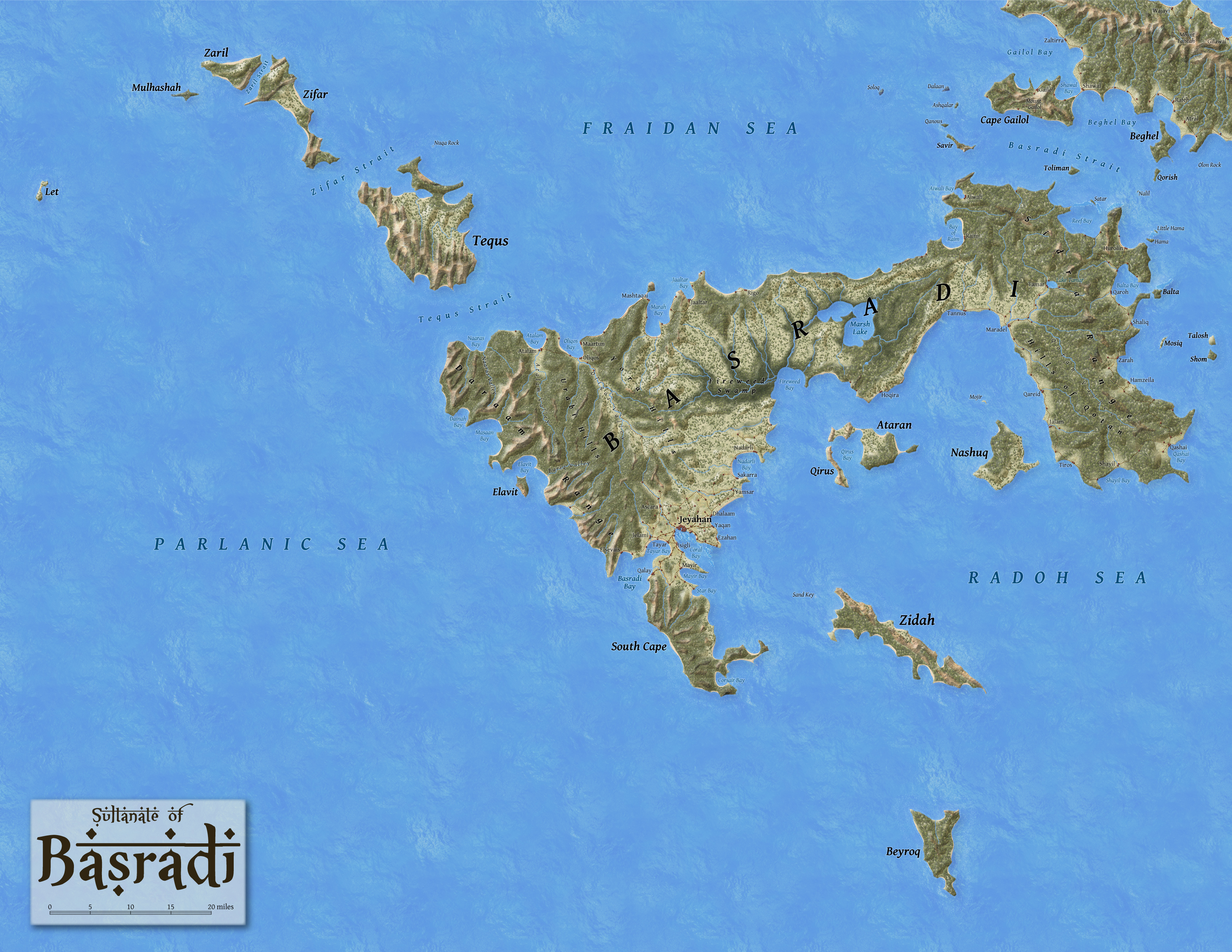
I had a similar issue with the water pattern on a previous map of the
Sultanate of Basradi... the repetition of the pattern is very distracting. I need to get better with patterns and not use them as a crutch so much.
Vardelm wrote:I've seen other tutorials that also use textures/patterns. Depending on how this done, you can actually change the patterns just by swapping external files that have the texture/pattern. That way, you can easily change the artistic flavor of the map without changing any of the underlying shapes.
I've used the pattern stamp tool, so that's right out. I'd have to repaint in order to change the patterns.
Re: Hey, I made a map
Posted: Thu Nov 21, 2013 2:57 pm
by Bristel
It's beautiful!
Re: Hey, I made a map
Posted: Thu Nov 21, 2013 4:41 pm
by Rhetorica
HandsomeRob wrote:I've used the pattern stamp tool, so that's right out. I'd have to repaint in order to change the patterns.
Next time, try using a pattern fill effect on a layer with low opacity. You can paint it in as a flat colour, but easily change the pattern itself, as long as you can accept a single global pattern offset.
Re: Hey, I made a map
Posted: Thu Nov 21, 2013 5:18 pm
by cromulant
maıráí wrote:11/10
Rob's work is easily a 12/10. Maybe even a 12.5.
Re: Hey, I made a map
Posted: Thu Nov 21, 2013 7:02 pm
by HandsomeRob
Map is updated based on some of the comments here. I also changed the town label typeface to something a bit more evocative.
Re: Hey, I made a map
Posted: Thu Nov 21, 2013 9:59 pm
by Rhetorica
Looking better! I really like the blending modes you're using now on the mountains.
I'd recommend lowering the outer glow on place names so it matches the base colour of the map, and perhaps making it a bit looser. That way you can make it look like the drawing behind faded out, and less like you've got spooky magic glowing letters on the page. (I'm pretty sure that's also the default glow colour, which stands out a bit.)
Also, try changing the anti-aliasing mode on the main title text. I'm guessing it's currently on either 'sharp' or 'strong', which is producing really hard edges—prefer 'smooth' instead for large text.
Re: Hey, I made a map
Posted: Fri Nov 22, 2013 7:49 am
by Salmoneus
I'm not sold on the font you're using for cities. It's too over-the-top for my tastes, and comes across as cheesy/gimmicky. A bit too D&D. After all,
But I'm particular not sold on using one font for cities and one for everything else, particularly in the places where you've got area names in one font right next to city names in the other. I tend to think that fonts work best en masse, not acting against one another, particularly when the fonts used are SO different - smooth vs sharp, curvy vs angular, generic vs specialised, simple vs ornamented, european vs indian.
I'd say that if you really like your city font, you should commit to it and put the whole map in it, which might also help the city font stand out less as unnatural (or failing that at least maybe find fonts that are closer to one another aesthetically, even if they're not the same).
Aside from the aesthetic issue, I'm finding it hard to suspend, as I can't really imagine one map-maker using both those fonts.
[Unless you have some in-world reasoning for the font differences, of course, then it can become part of the content, not part of the presentation]
EDIT: almost three fonts really, since the romanesque capitals have quite a different cultural connotation from the mixed case. Wait, no, four fonts, since not only does the wood-cut style on the title give a different connotation, but that font is also subtly different from the font used on the map itself, for some reason.
The faux-indian makes me think of a fantasy map. The capitals make me thing of roman provinces. The mixed case makes me think of european neoclassicism and the enlightenment empires. And then the engraver's title (and the name of the place) makes me think 'british map of 19th century africa'.